Surveying & Mapping
We provide professional surveying and mapping services to government, business and industry. Our survey crews and photogrammetric mapping personnel provide timely and accurate data necessary for the successful completion of any project. The corps and photogrammetrists at The EADS Group, Inc. are familiar with the most recent regulations and standards.
SERVICES INCLUDE:
• ALTA/NSPS Land Title Surveys
• Gas and Oil Utility Exploration and Development
• Electric Utility Line Development
• Coal Exploration and Development
• Topographic, Hydrostatic and Hydrographic
• Mine Reclamation
• Property Surveys
• Engineering Surveys
• Subdivision Plans
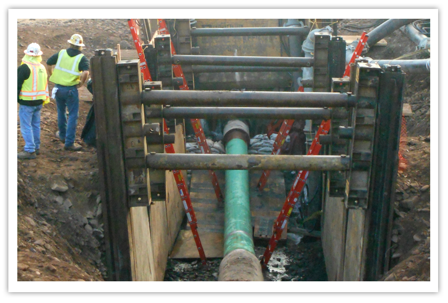
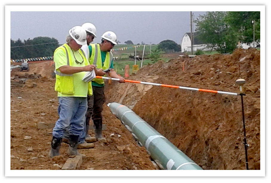
• Pipeline Surveys – Construction and As-Built
• Global Positioning Surveys (Code and Carrier Phase)
• Construction Stakeout
• Aerial Photography Controls
• Photogrammetric Mapping
• Digitizing
• Flood Studies
• Stockpile (Volume) Analysis
• FEMA Elevation Certificates
• Digital Orthophotography
• Geodetic Surveys
• Right-of-Way Surveys
• Utility Line Development – Sewer, Water and Stormwater
• Site Development
• Transportation
• Geographic Information Systems
Surveying
Our survey crews have extensive experience in completing numerous roadway layouts; construction surveys; gas, water and sewer pipelines; GPS photo control surveys, as well as all other types of surveys. Our survey department is capable of collecting data from sub-meter to centimeter accuracy in a timely and efficient manner. EADS utilizes the latest state-of-the-art electronic surveying equipment such as Static and RTK GPS systems, Total Stations and TDS data collectors. Our GPS and conventional processing software provides accurate/economical results.
Mapping
We have customized black and white or color aerial photography, photogrammetric mapping and digital orthophotography available to identify the physical features in your specified location.
We use KLT ATLAS software, combined with analytical and soft copy plotters, to create a true-to-scale, high-quality drawing which may be updated as your project progresses. Drawings and project files can be transmitted electronically or placed on a CD/DVD, in the following formats for your convenience: AutoCAD, MicroStation and ArcInfo.
Geographic Information Systems (GIS)
GIS combines layers of information about a place to give you a better understanding of that location. What layers of information you combine depends on your purpose – prioritizing future project, maintaining system records of a facility, analyzing viewing leaks in a water system to detect a pattern and so on.
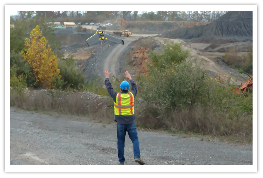
Drone UAV Inspection Services
Large projects that once took weeks to complete can now be completed in a few days with the use of Unmanned Aerial Vehicles (UAV’s).
UAV’s, also referred to as drones, are making a significant contribution to a number of industries thanks to their versatile flight capabilities and the high-resolution imagery they can produce. Use of UAV’s may save time to obtain project information, and also provides safety for crews that may need to operate in high risk situations, like unstable slopes.
The EADS Group can provide both high quality photography and accurate mapping with ground control. Some businesses/industries that could benefit from our UAV services include the following:
Agriculture – Crop health monitoring, crop damage assessment, livestock monitoring
Architects – Project monitoring, building evaluations, roof inspections
Surveying – Land and infrastructure, property reclamation, site inspections
Construction – Comprehensive views of work sites
Civil Engineering – Department of Transportation projects, site inspection, aerial progression, media production
Insurance Companies – Property claim investigations, damage inspections
Mining – Reclamation mapping
Oil & Gas Companies – Mapping, aerial video, site selection
Power and Utility/Telecommunications – Visual daylight video and thermal inspections, preventative maintenance
Quarries/Landfills – Volume calculations, site selection, construction management, access to dangerous or hazardous areas
Real-estate Agents – Marketing and media production, property showcases
Water/Sewer Authorities – Dam Inspections, GIS Mapping, project monitoring